|
|
|
|
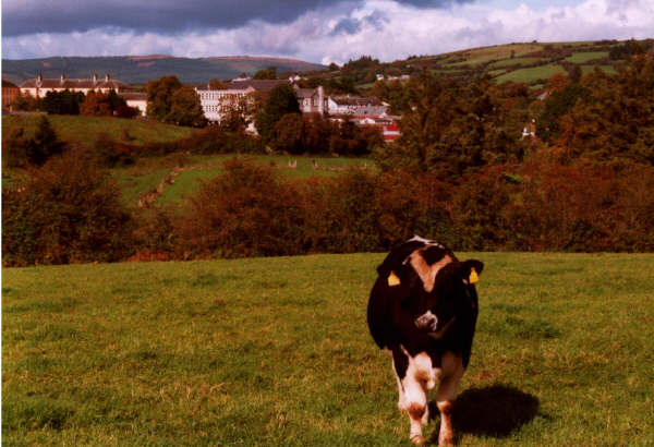
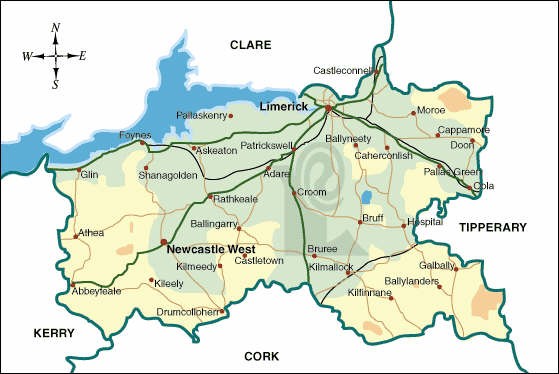
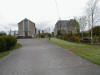
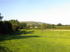
Liscaugh Doon
Convent in the background. |
|

|
|
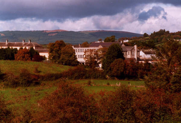
Convent of Mercy Doon
Taken in Liscaugh |
|
|
|
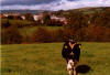
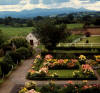
Convent Garden
A nice picture of the garden, Doon Convent. |
|
|
|
Convent
|
|
|
|
Convent Garden
Photo taken from one of the upstair windows. |
|
|
|

|
|
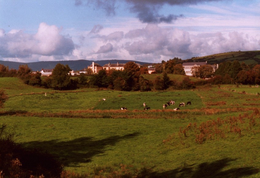
Convent of Mercy Secondary School.
Taken from Liscaugh. |
|

|
|
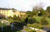
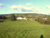
View of Doon Convent and girls school.
Taken from Liscaugh. |
|
|
|
Doon Parish Church and Rectory.
From church gate. |
|
|
|
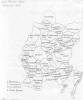
Rough map of Doon's townlands.
Townlands. |
|
|
|
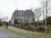
Parish Priests House Doon.
Taken from church gate. |
|
|
|

|
|
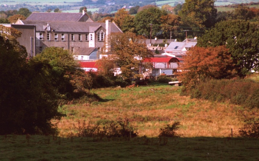
Picture of Convent Farmyard.
|
|
|
|
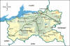
Map of Limerick
Map of Limerick |
|
|
|
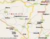
Map of East Limerick and West Tipperary
Map of East Limerick and West Tipperary |
|
|
|
Liscaugh Doon
|
|
|
|
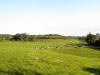
Hill of Doon
Taken from Liscaugh |
|
|
|
|
|
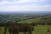
View from Glengar
Taken from the top of the Ryan farm. The heavily wooded valley on the left is where the Carnahalla River runs from Glengar down to Carnahalla, near the low hill with the trees on it. The lower, flatter rise of ground beyond that is Carrigmore. Running left to right between those two hills (though you can't see it) is the road from Carnahalla, via Toomaline, to Doon. That should help you get your bearings.
You can see the western edge of the Galtee mountains and much of the big flat area before the hills in the distance is "The Mash" which used to flood every winter, before they sorted out the Mulcair. The big house near the foreground is O'Malley's which I believe was formerly the landlord's house. Possibly that of G. Hodges that I read about on your site. Certainly I know of no other "great house" in Glengar. The village of Doon itself is hidden behind the hill on the right.
Kindly sent by Pat Ryan, Glengar. |
|
|
|
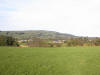
Another view of Doon Hill
|
|
|
|
Doon Hill
|
|
|